Paul Macoun: Turbulence and Mixing Estimates Using a Towed Horizontal microstructure Profiler
-
-
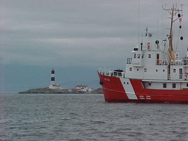
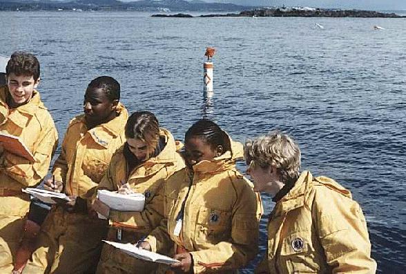
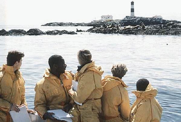
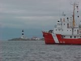
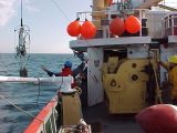
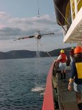
On August 17, 2000, the CCG vessel Vector made a stop at Race Rocks to conduct research experiments with a focus on understanding mixing processes in the area
-
-
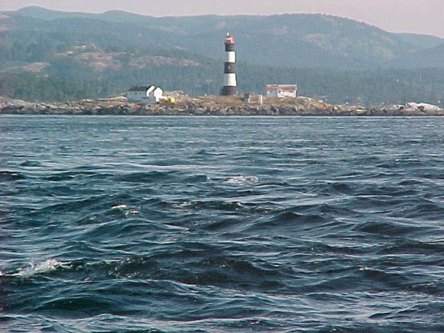
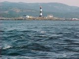
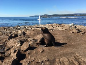
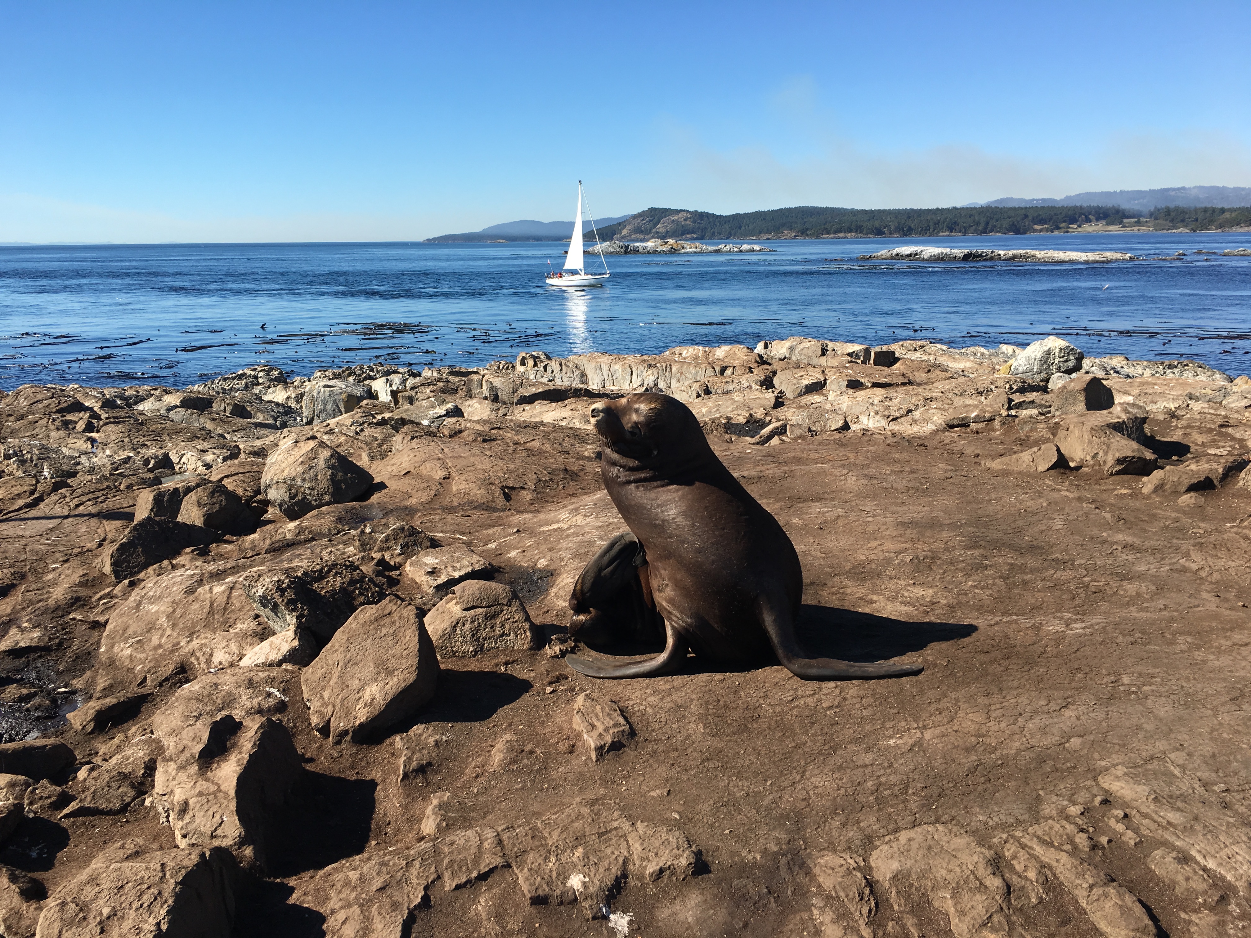
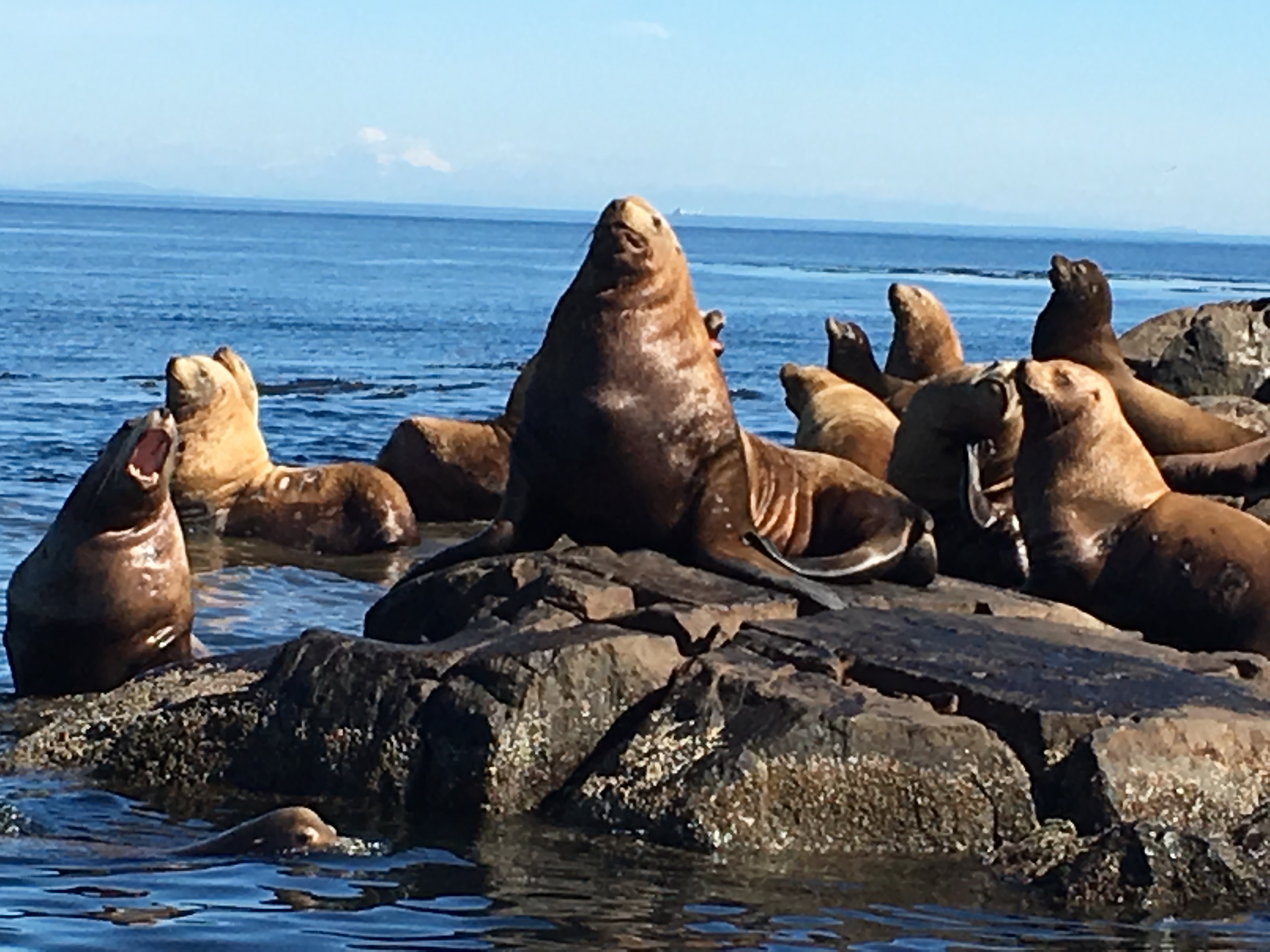
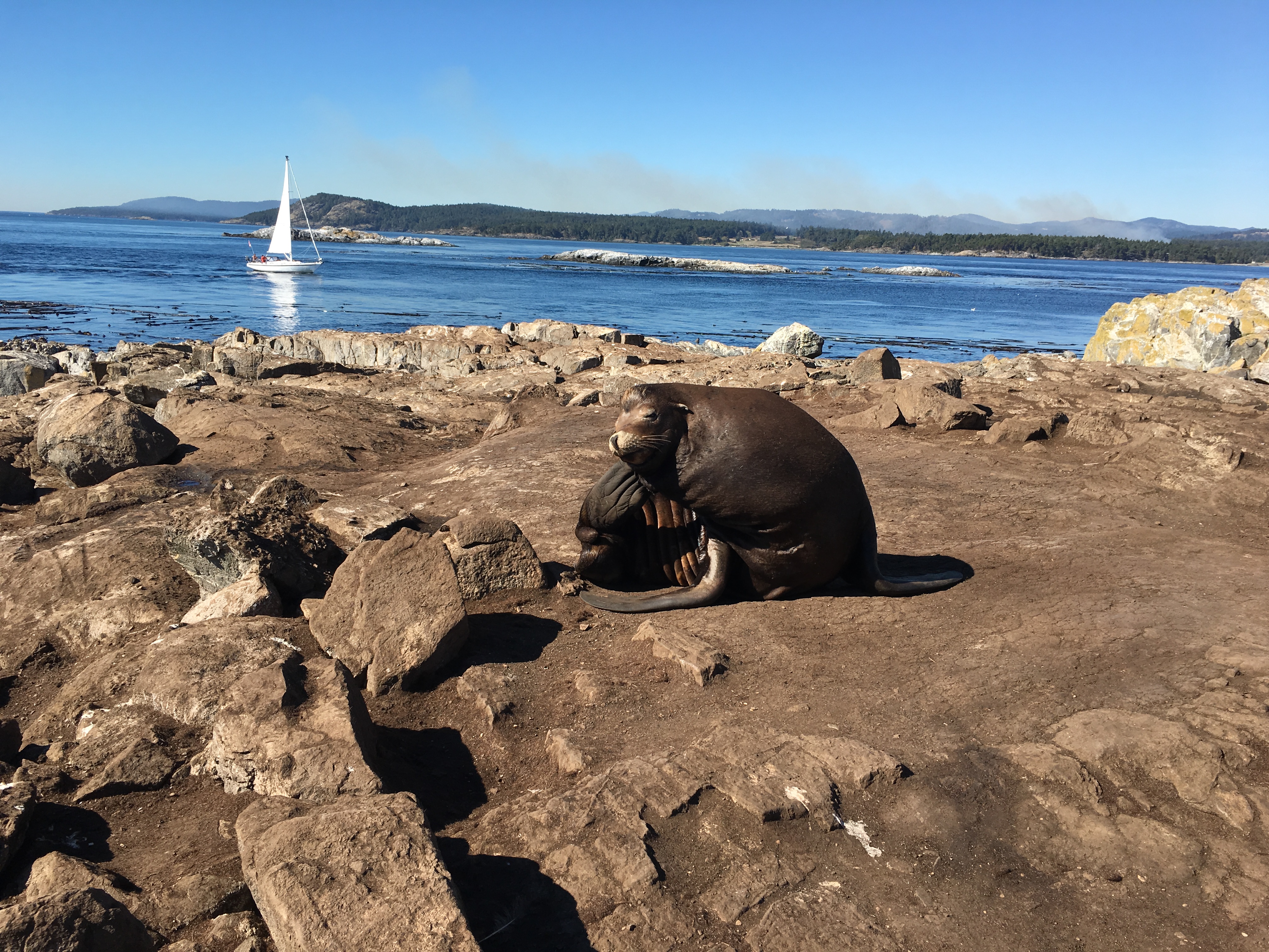
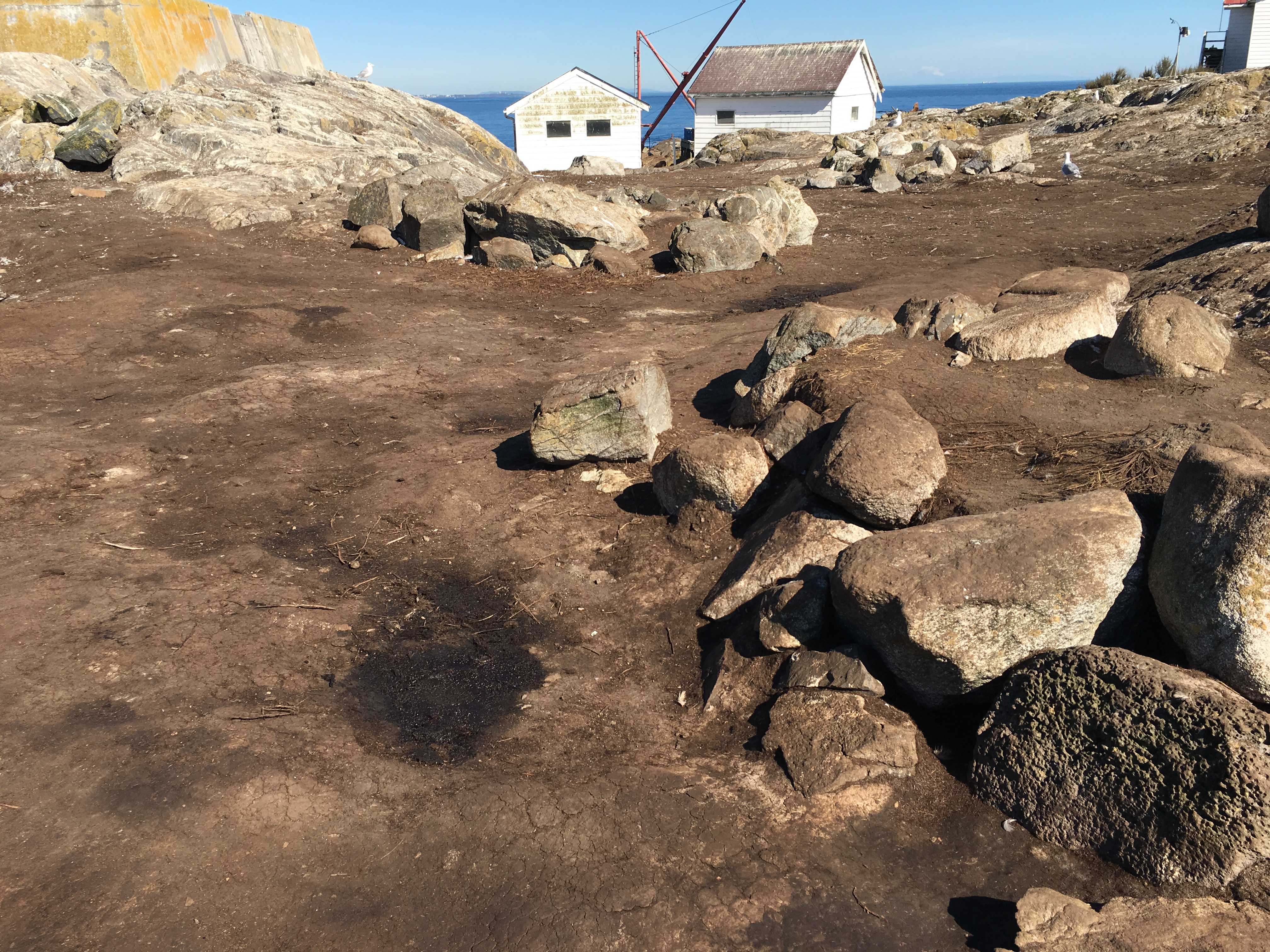
The Race Rocks Marine Protected Area viewed from the South. Rocky Point and the Metchosin hills appear in the background on the North side.Turbulent surface water in foreground.
-
-
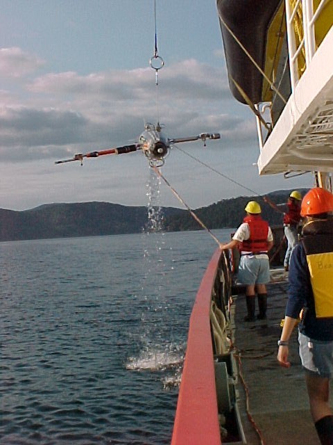
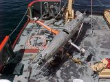
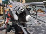
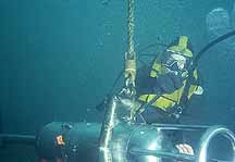
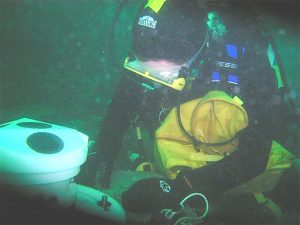
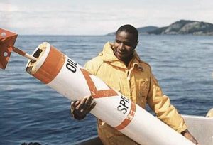
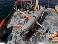
On board was the Ocean Turbulence Lab’s (OTL) Towed Ocean Microstructure Instrument (TOMI). TOMI gives incite into the mixing processes that redistribute heat, salt and energy in the ocean
-

-
TOMI was towed west of Race Rocks on the ebb tide and east of it on the flood tide . In these areas impressive surface eddies, upwellings and convergence zones were seen.
-
-
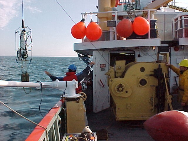
TOMI supports an array of oceanographic sensors. The nose houses airfoil shear probes, thermistors, and conductivity and temperature sensors.
-
-
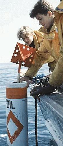
Other data collected in the Race Rocks area were vertical profiles of the water column. Temperature, conductivity and relevant depth were recorded using a CTD.
-

-
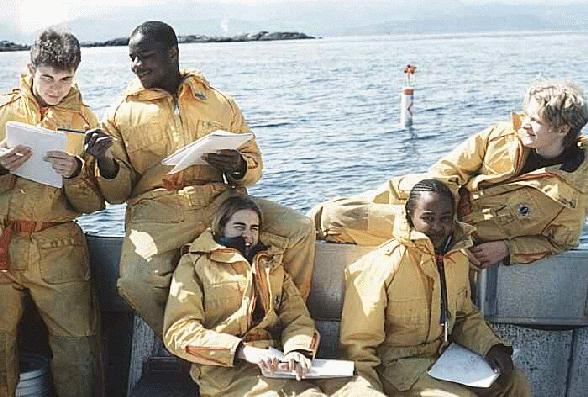
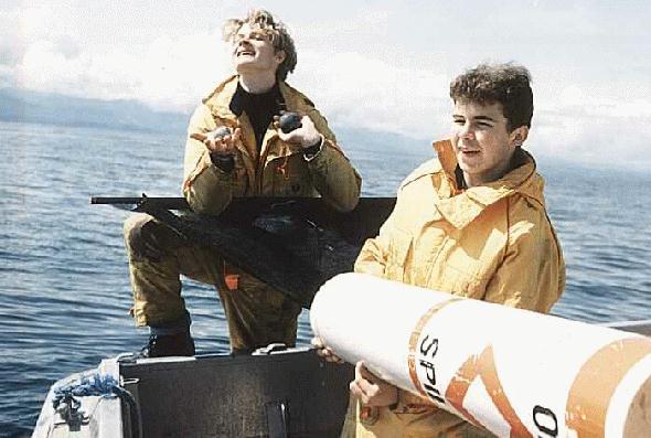
A former Lester B. Pearson College student Paul Macoun, (PC yr15) who is now studying oceanography at the University of Victoria, was aboard the expedition as part of a team of scientists doing oceanographic research. He provided these photos and some preliminary observations
-
-
During both tides, significant levels of dissipation of turbulent kinetic energy were measured. This energy eventually turns, through the cascade of big eddies to smaller and smaller scales, into heat through friction. This vigorous cascade allows for thorough mixing and a measurable re-distribution of scalars such as heat, salt and momentum.
-
-
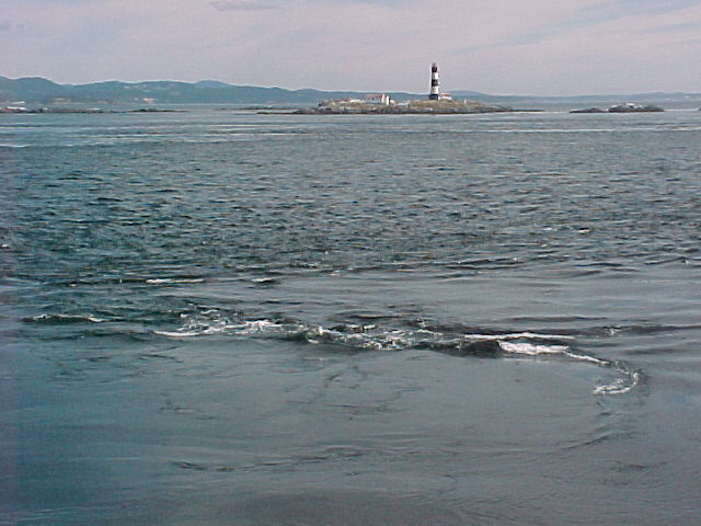
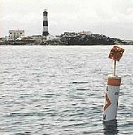
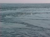
Upwelling forms on the surface
Turbulence and mixing estimates using a towed horizontal microstructure profiler.
Paul Macoun
The Ocean Turbulence Laboratory
University of Victoria
The Purpose
Mixing is the key element in the redistribution of salt, heat and energy in the ocean. Understanding the mechanisms and magnitude of turbulence and other mixing processes is crucial to the improvement of models that predict oceanic and atmospheric change. Our elusive goal is the parameterization of the vertical fluxes of salt and heat based upon the physics of oceanic mixing processes.
The horizontal profiler TOMI (Towed Ocean Microstructure Instrument) is used to make simultaneous measurements of temperature, conductivity, vertical velocity, and their fluctuations. The measurement of vertical velocity provides a means of estimating the rate of dissipation of turbulent kinetic energy. The respective products of instantaneous velocity and temperature, and that of velocity and conductivity, provide a direct measure of the vertical fluxes of heat and salt.
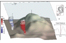
Simultaneous vertical profiles of current and its shear from a ship mounted ADCP (Acoustic Doppler Current Profiler) provide a means to relate the measured fluxes to the Froude Number and the Buoyancy Reynolds Number over a wide range of these parameters. The efficiency of mixing, the ratio of buoyancy-to-kinetic energy production, reaches 0.5 in near coastal regions and is generally much larger than the value of 0.2 assumed to apply to the open ocean.
This analysis is to be the first task to undertake with respect to the data set collected at Race Rocks on August 17th, 2000. At present, the processing is at a preliminary stage.
The Instrument
TOMI is a towed oceanographic vehicle designed to measure turbulence in both shallow and deep water. TOMI can support a multitude of instruments, from sonar to underwater cameras. Its primary oceanographic and electronic sensors are as follows:
1) Four airfoil shear probes and two fast-response thermistors on the nose.
2) A seabird temperature and conductivity sensor adjacent to the nose probes.
3) A seabird temperature and conductivity sensor, and a flowmeter, on the upper mast.
4) A seabird temperature and conductivity sensor, and a flowmeter, on the lower mast.
5) A pressure sensor mounted mid-body, internally.
6) An inertial motion sensor package, internal.
The sample rates for these instruments vary from 64 samples per second up to 512 samples per second. The airfoil shear probe is a unique instrument that measures the cross-stream component of velocity. The force generated by cross-stream flow bends a tiny ceramic bi-morph beam, which generates a voltage that is amplified and recorded. The motion sensor contains accelerometers and gyros. Its presence is required because of low frequency body motion contamination that finds its way into the shear probe signals. By having a record of the vehicle’s behaviour, the probe signals can be decontaminated through processing.
(Photos to be added)
Return to P. Macoun- Oceanographic Research

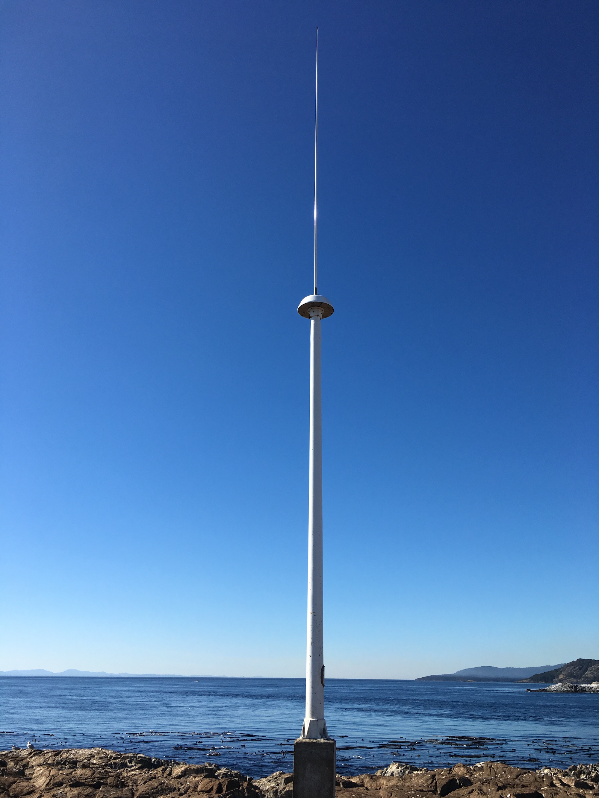
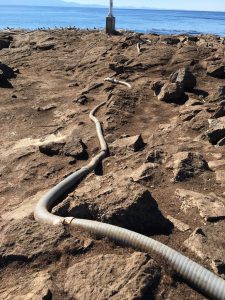
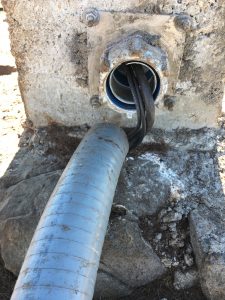
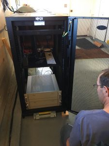
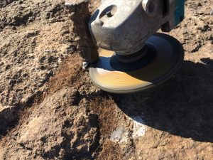
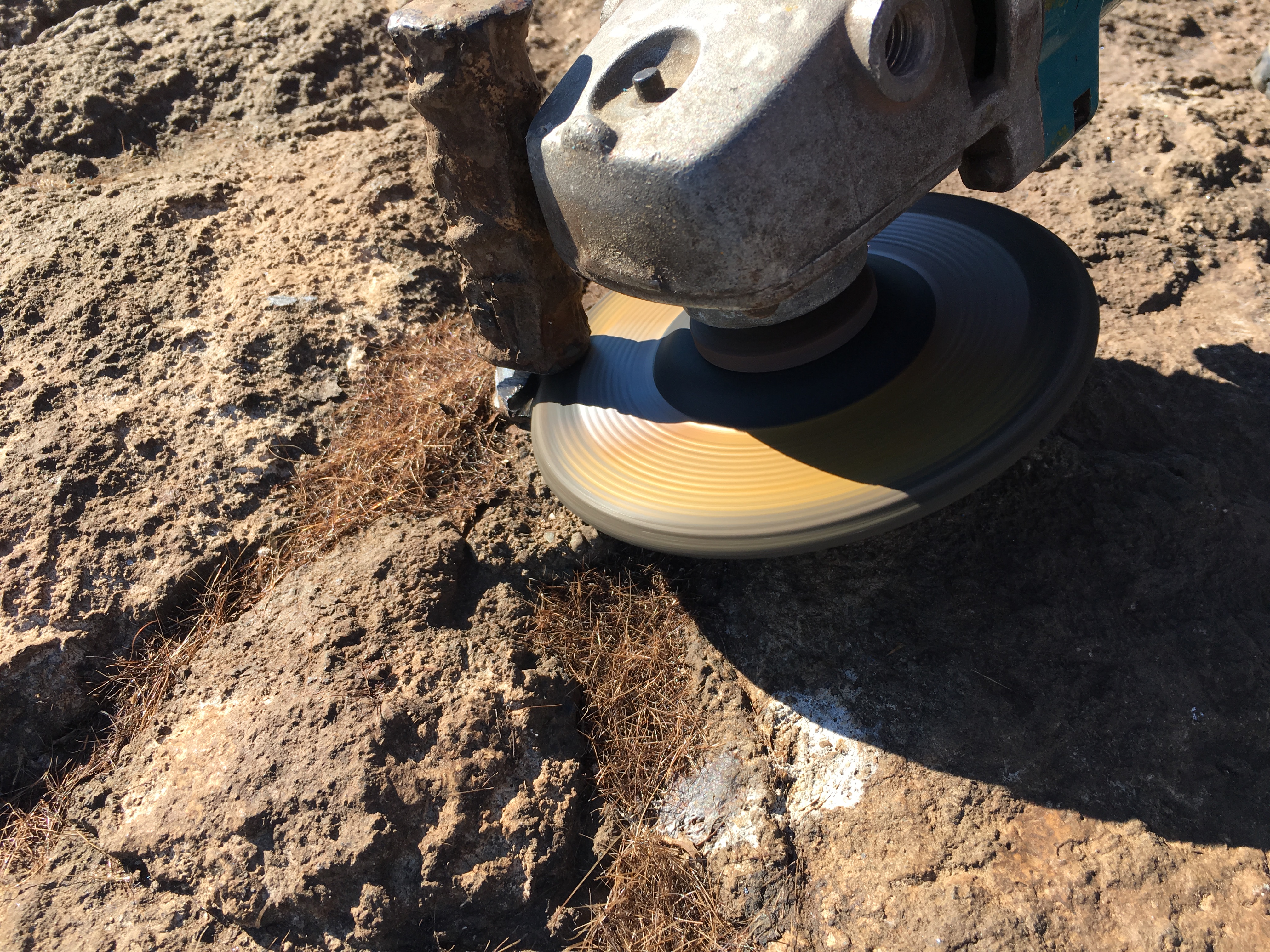
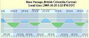
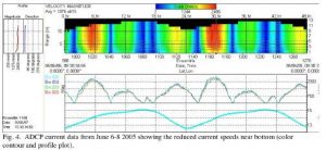
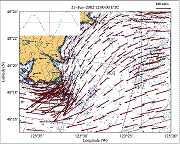
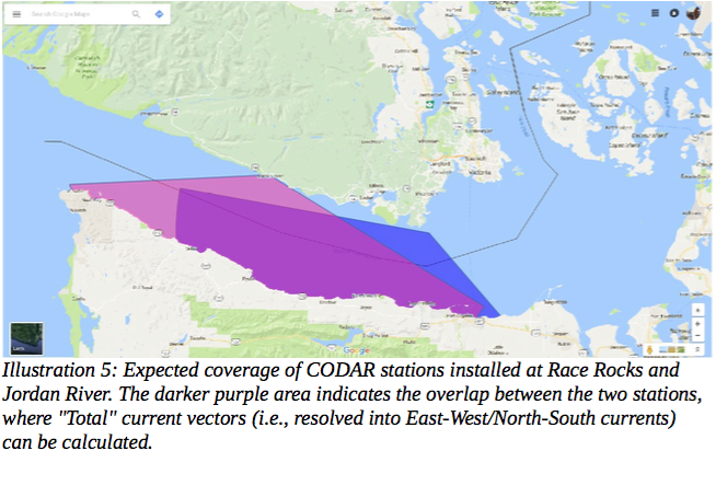 Today Guy drove me out to Race Rocks with Kevin Bartlett, Marine Equipment, Specialist with Ocean Networks Canada. They had installed equipment earlier in the year but had ro change the frequency of broadcasting before it is operational. Kevin was making repairs, one being fixing the conduit at the base of the tower which had been disturbed by sealions. When this equipment is fully operational it will give acurate current vectors for the eastern entrance of the Strait of Juan de Fuca.
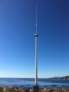


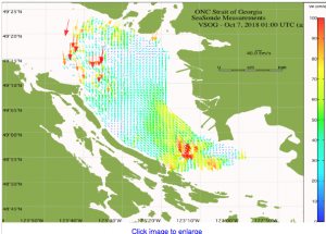 Sample from a similar station now in operation:


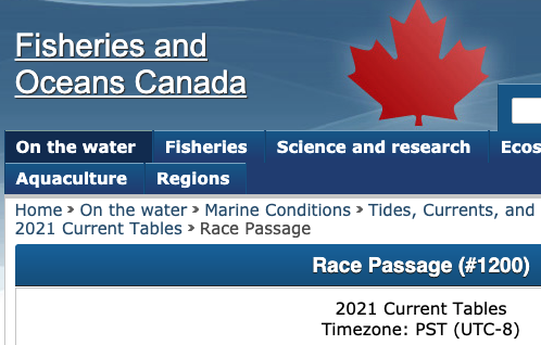
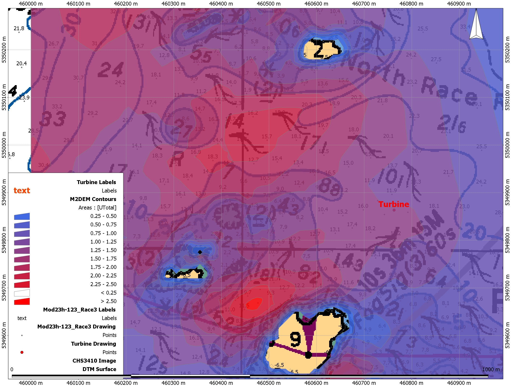

 Link to the Tidal Current Power Project